BRYAN BELMONT
Tucked away in East Brooklyn, Flatlands had an enduring legacy as Brooklyn’s quiet backyard. The Canarsie people were the native inhabitants of the lands adjacent to the Paerdegat Basin. Throughout its colonization by the Dutch, British, and later the American Revolution, a lack of road connections and transportation infrastructure lagged the area’s development. This relative seclusion would characterize Flatlands amongst the original six towns of Brooklyn.
The neighborhood’s first major wave of development came with New York City’s Zoning Resolution of 1961. The plan came after the consolidation of NYC’s subway system. So the city fully embraced prevailing trends in American planning at the time which promoted automobile transport from single family homes into a blighting city center. This movement…white flight and redlining which vastly deepened wealth inequality between white and black Americans. But something happened in Flatlands to subvert this trend. Following the civil rights movement many immigrants settled in East Brooklyn communities like Flatlands, Canarsie, and East Flatbush. In 20 years, the demographics of the area shifted from overwhelmingly White to overwhelmingly Black Carribean.
The residents of Flatlands are not too remote to see gentrification of Brooklyn’s traditionally Black neighborhoods in the last two decades. However, their above average homeownership rates make this community one of Brooklyn’s last true ethnic enclaves. The following images are of longstanding physical structures that callback to the exclusionary era when they were constructed. But the growth of a new community allowed these planning artifacts to transcend the social structures they were intended to uphold.
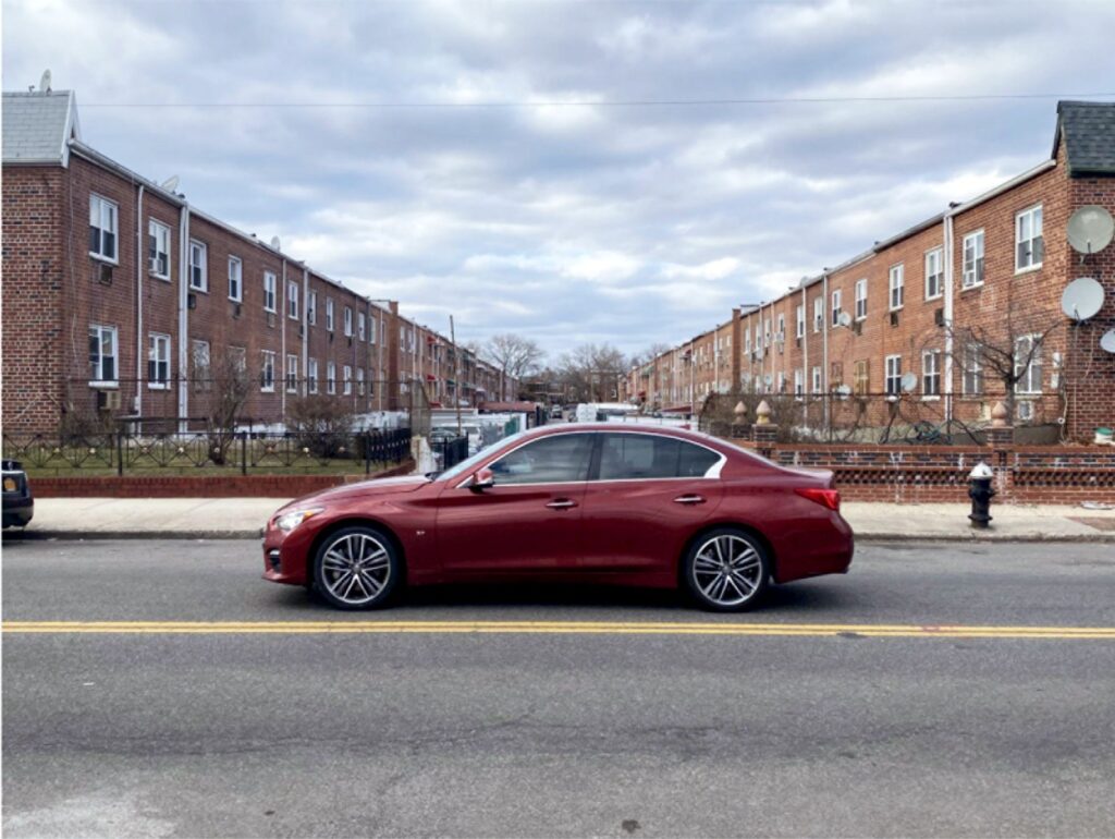
1.
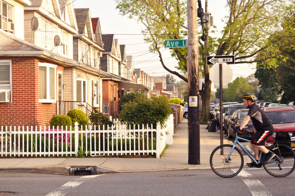
Street parking in New York City is notoriously scarce. The city remains an anomaly among America as the only major city where most people do not drive. But parking is a non-issue for residents of Flatlands. The area was developed with the benefit of hindsight in regards to traffic congestion in the city. Many streets were designed with parking alleys between them that are easily accessible by the avenues.

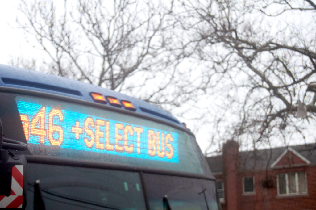
2.
The Flatbush Bus Depot is one of seven in Brooklyn and operates seven bus routes, including the B46 Select Bus Service (SBS). The B46 was at one point the most congested route in the city, prompting a pilot program for the SBS along Utica Avenue.
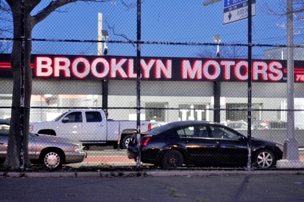
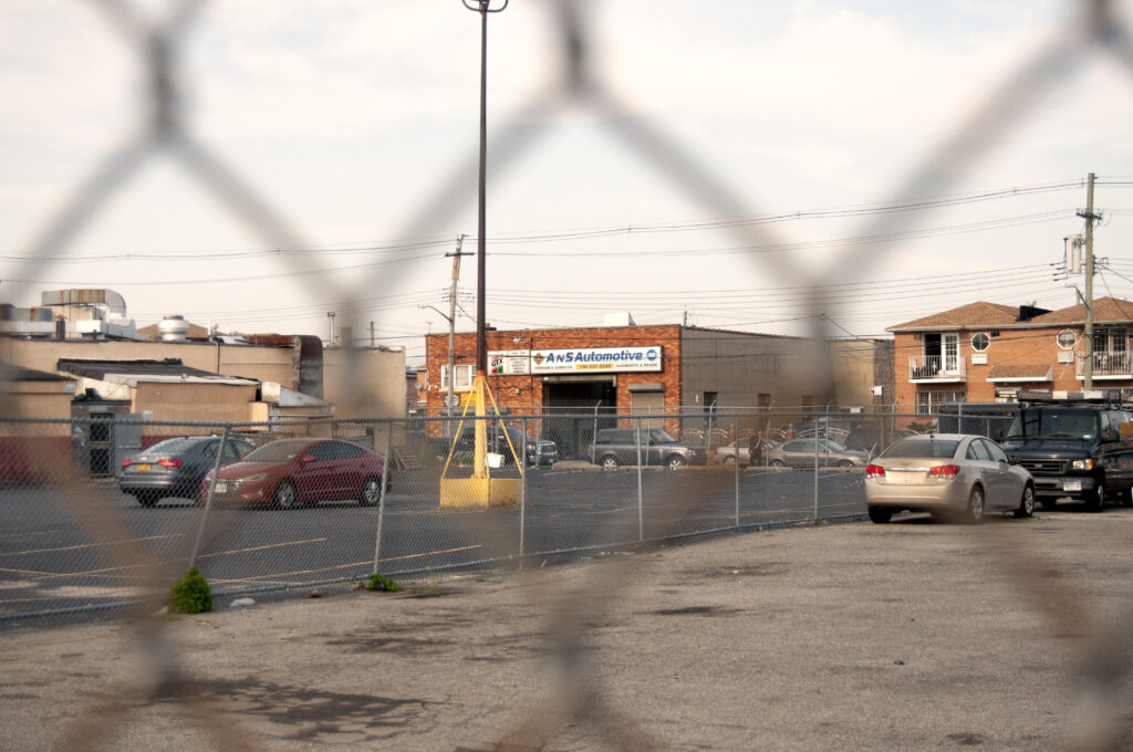
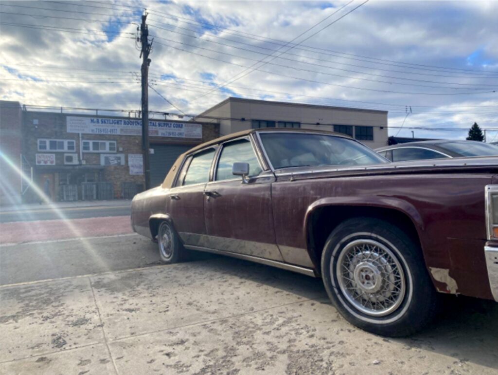
3.
Utica Avenue is one of the few streets in Flatlands zoned exclusively for commercial use. Most of this land is used by light manufacturing businesses geared towards home and car owners like the one pictured here. One must ask what the development of more robust transit options would mean for these businesses with built-in clientele.
4.
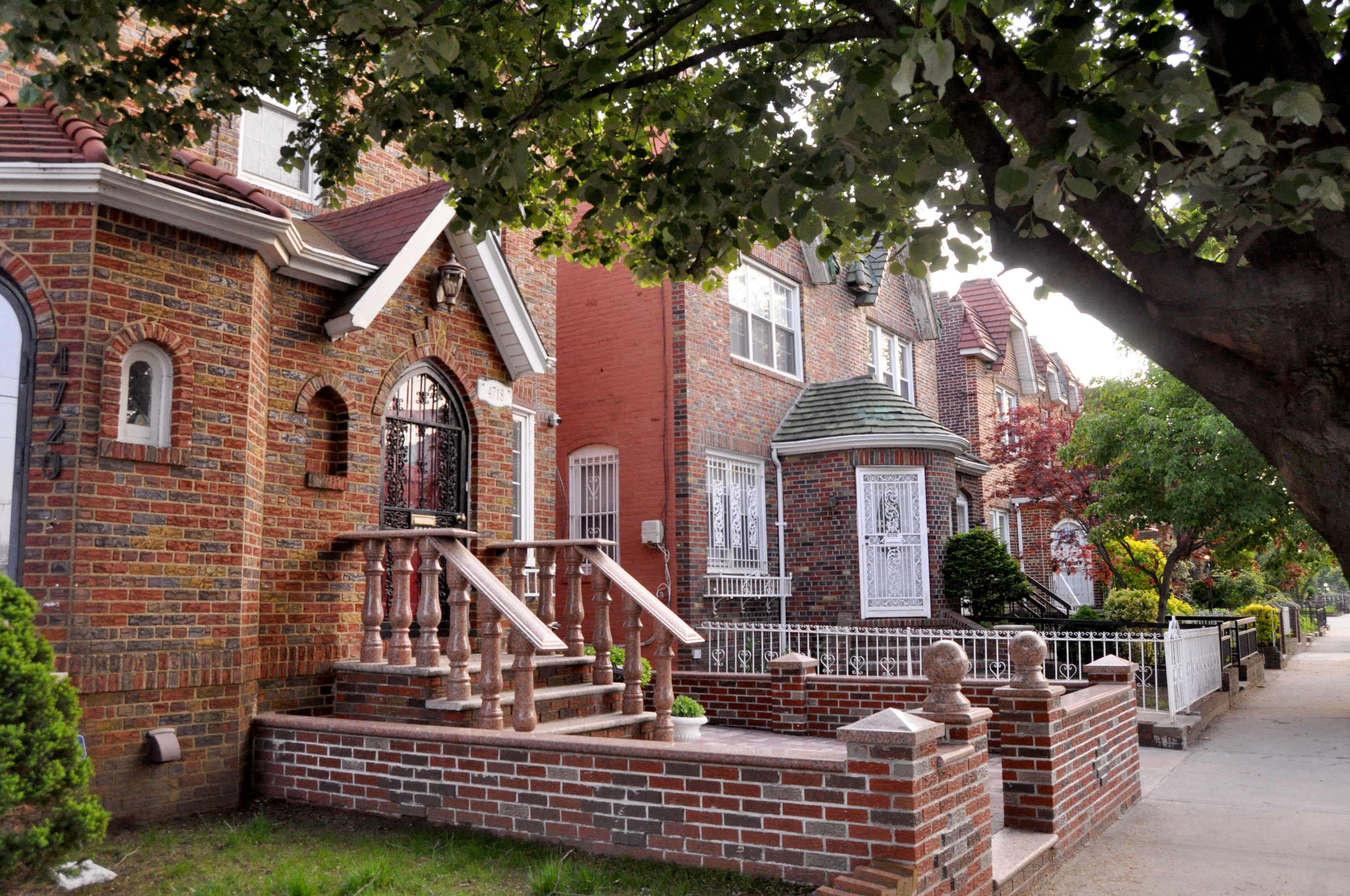
The Carribean community of Flatlands managed to firmly plant roots through homeownership, much in the spirit of when the area was originally developed. As they raise families in a neighborhood still holding out against gentrification, they redefine the imagery of a true Brooklynite.
Bryan Belmont is a Haitian-American writer and photographer from Brooklyn, New York. His upbringing in Brooklyn’s Caribbean community cultivated an interest in immigrant demographics within cities. This is the inspiration behind his studies and creative projects.